Gulf Coast radar feeds return after five sites lose public data for days
The public feed failed, not the forecast service
Weather-radar images from five National Weather Service sites across Alabama, Florida and south Georgia stopped reaching the public, broadcasters and weather apps for days over the October 3–5 weekend. The affected sites were Mobile, Alabama (KMOB); Eglin Air Force Base (KEVX) and Tallahassee (KTLH) in Florida; Fort Rucker, Alabama (KEOX); and Moody Air Force Base, Georgia (KVAX), according to AL.com’s site-by-site reporting.
The distinction matters: the instruments were not reported to have all stopped scanning. National Weather Service forecasters could still access their internal radar data and issue official watches and warnings. It was the outward delivery of data to people using public websites, third-party apps and newsroom displays that failed. The Pensacola News Journal’s account of NOAA’s statement confirms that forecasters continued receiving radar feeds and emergency alerts continued reaching the public. Describing this as a complete loss of forecasting or a shutdown of the warning network would be incorrect.
A gap during heavy rain
By 5:30 a.m. CDT Monday, public and external radar data from Mobile to Tallahassee had been unavailable for more than 48 hours, Alabama Emergency Management Agency meteorologist Jim Stefkovich wrote in the agency’s morning briefing. Southern Alabama was under flood watches, and the agency warned of additional rain. Nearby radar installations could provide partial coverage, but their beams look higher above the ground at longer distances, so the substitute view might not represent local conditions as well.
WALB News 10 interviewed a local meteorologist about the difference between a working internal warning operation and what broadcasters could show residents. While the NWS could still issue warnings, the station said losing the closer public radar views would make street-level reporting on developing conditions less precise. There is no verified account in these sources of a missed NWS warning or a specific injury caused by the feed failure.
What is known about the cause and recovery
The exact fault should not be reduced to one confirmed cable cut across every site. In the Pensacola News Journal report, NOAA said some issues were likely related to transmission-line damage, while one site had a hardware issue. AL.com reported that the weather service had been told of a major fiber outage, but the published record does not establish the same technical cause at all five installations.
The public feeds came back Monday afternoon, October 5. Pensacola News Journal reported that the three Florida Panhandle-covering feeds were available by 3 p.m. EDT. WALB subsequently reported that NWS Mobile said all five had been restored for public access that afternoon. An earlier AL.com update still showed the south-Georgia radar offline while the Alabama-related sites were returning; those snapshots need not describe the same instant. No single minute-by-minute all-sites restoration time is established here.
The continuity lesson
This was a data-delivery disruption, not evidence that every link in the weather-warning chain failed. It illustrates a consequential dependency: even when an operator can still use its own measurements, the public and downstream partners may lose the channel through which those measurements are shared. The practical response is to distinguish the condition of the source equipment, internal professional access and public distribution rather than treating one green-or-red status as the whole service.
For current conditions, follow the National Weather Service Mobile/Pensacola office and its official warnings; this article describes the recovered October 3–5 incident, not a present-day radar outage. Readers can also consult SID’s realtime outage view, News archive and service directory. Organizations that depend on external digital feeds can review Status Is Down’s monitoring plans and sign up to track the services relevant to their operations.
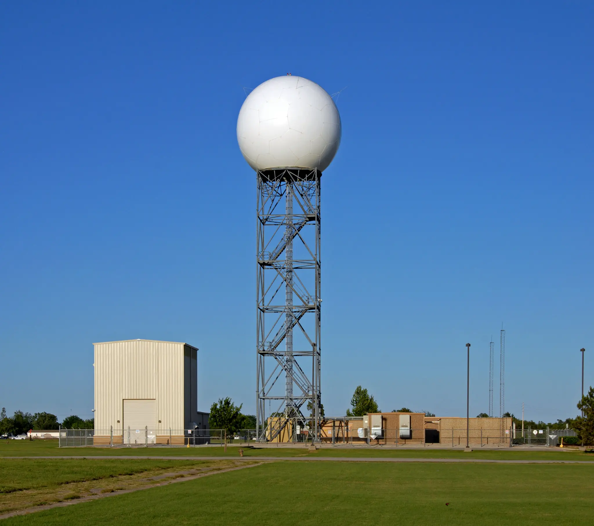
Image note: Any future stock cover will be a generic illustrative radar image and must not be presented as one of the five NWS installations.
Image credit: ID 19556565 © Dan Van Den Broeke | Dreamstime.com